How Drone Visuals Help Project Teams Spot Delays and Issues Early
Project teams on construction sites, infrastructure projects, and large land developments rely on timely information to keep work on schedule. When progress monitoring depends on manual walkthroughs or sporadic site visits, small problems can grow into costly delays before anyone notices. Drone progress tracking offers a different approach: regular aerial captures that show exactly what has changed, what has stalled, and what needs attention.
The short answer is that drone visuals help teams spot delays and issues by providing consistent, comparable, and detailed views of the entire site on each flight date. With an orthomosaic or a 3D model from a single capture, a project manager can see whether earthmoving is on track, whether materials have arrived, and whether any area has fallen behind the project timeline. Change detection tools make it easy to compare one flight to the next, highlighting differences that might otherwise go unnoticed until the weekly meeting.
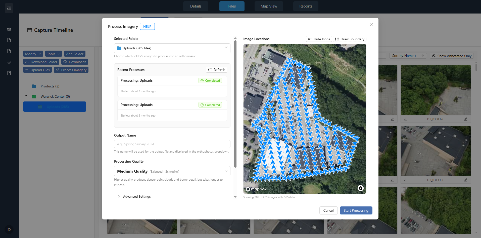
For teams that use a platform like the one at nationaldroneservices.net, the workflow becomes straightforward. A drone captures the site on a regular schedule - weekly, biweekly, or after key milestones. The imagery is processed into an orthomosaic, a georeferenced map that anyone can measure on. Then, using that baseline, the next capture is overlaid so that every difference in elevation, material, or structure stands out. This is where the real value lies: not in a single pretty image, but in the side-by-side comparison that reveals hidden problems.
What Teams Look For in Drone Visuals
Project teams do not all need the same data, but they share a few common questions. Is grading complete in the southwest corner? Has the foundation pour started on schedule? Are the utility trenches backfilled? Drone progress tracking answers these questions with visuals that are both broad and precise.
Three types of drone visuals are especially useful for spotting delays:
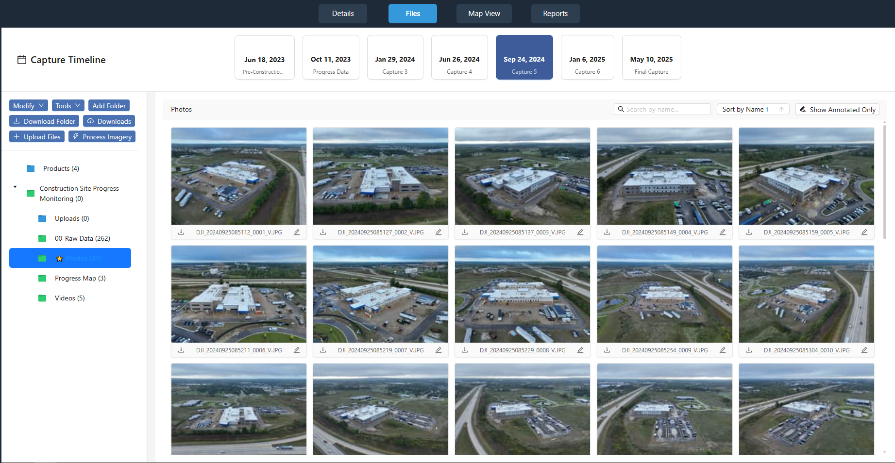
- Orthomosaics: Georeferenced composite images that let anyone measure distances, areas, and volumes directly on the map. A quick measurement can confirm whether excavation has reached the planned depth or whether stockpile volumes match the monthly report.
- Digital surface models (DSMs) and digital terrain models (DTMs): These height maps show actual ground elevation. Comparing DSMs from successive flights reveals where fill has been placed, where cut has been removed, and whether the site is progressing toward final grade.
- Change detection overlays: Software can produce heat maps or color-coded layers showing exactly where the site has changed between two flight dates. Red areas might indicate unexpected removal of material; blue areas might show new fill. The visual is immediate and leaves little room for argument.
Each of these outputs is generated from the same raw capture, so the team does not need to choose one type over another. They can look at the orthomosaic for context, the DSM for elevation data, and the change detection overlay for a quick flag of issues.
How Regular Captures Reveal Drift from the Project Timeline
A single drone flight is a snapshot. It tells you where the site is on that day, but it does not tell you whether that position is ahead, on schedule, or behind. That is why the schedule of captures matters as much as the quality of the imagery. When flights happen on a fixed cadence - say, every seven days for an active construction site - the sequence of orthomosaics becomes a visual diary of progress.
If the project timeline says that the north retention pond should be excavated by flight three, but the orthomosaic still shows stockpiled topsoil in that area, the team has an early warning. They can look at the site annotation from the previous flight to see whether any work happened at all. They can measure the stockpile volume to see if it has changed. Without the regular capture, the delay might not surface until the next progress meeting, which could be days or weeks later.
Another common issue is sequencing. On a large site, multiple subcontractors work in parallel. A delay in one area - say, a concrete pour that is pushed back - can cascade into other trades being unable to start. Drone progress tracking shows the whole site at once, so a project manager can see that the subcontractor for underground utilities has finished trenching, but the concrete crew is still working on the far side of the site. That visual prompts a question: could the utility crew move to a completed area while waiting? The answer might save a week of idle time.
Change Detection as a Problem Finder
Change detection is the most direct way to spot issues that are not obvious from a single image. When two orthomosaics are aligned and compared pixel by pixel, the software flags every difference. Some differences are expected - a new foundation wall, a freshly graded slope. Others are not.
For example, a team might notice an area where the ground elevation dropped between flights, even though no excavation was planned. That could indicate settlement, erosion, or unauthorized removal of material. Without the change detection overlay, that drop might be invisible until someone walks the site and notices a dip. By then, the problem could be larger.
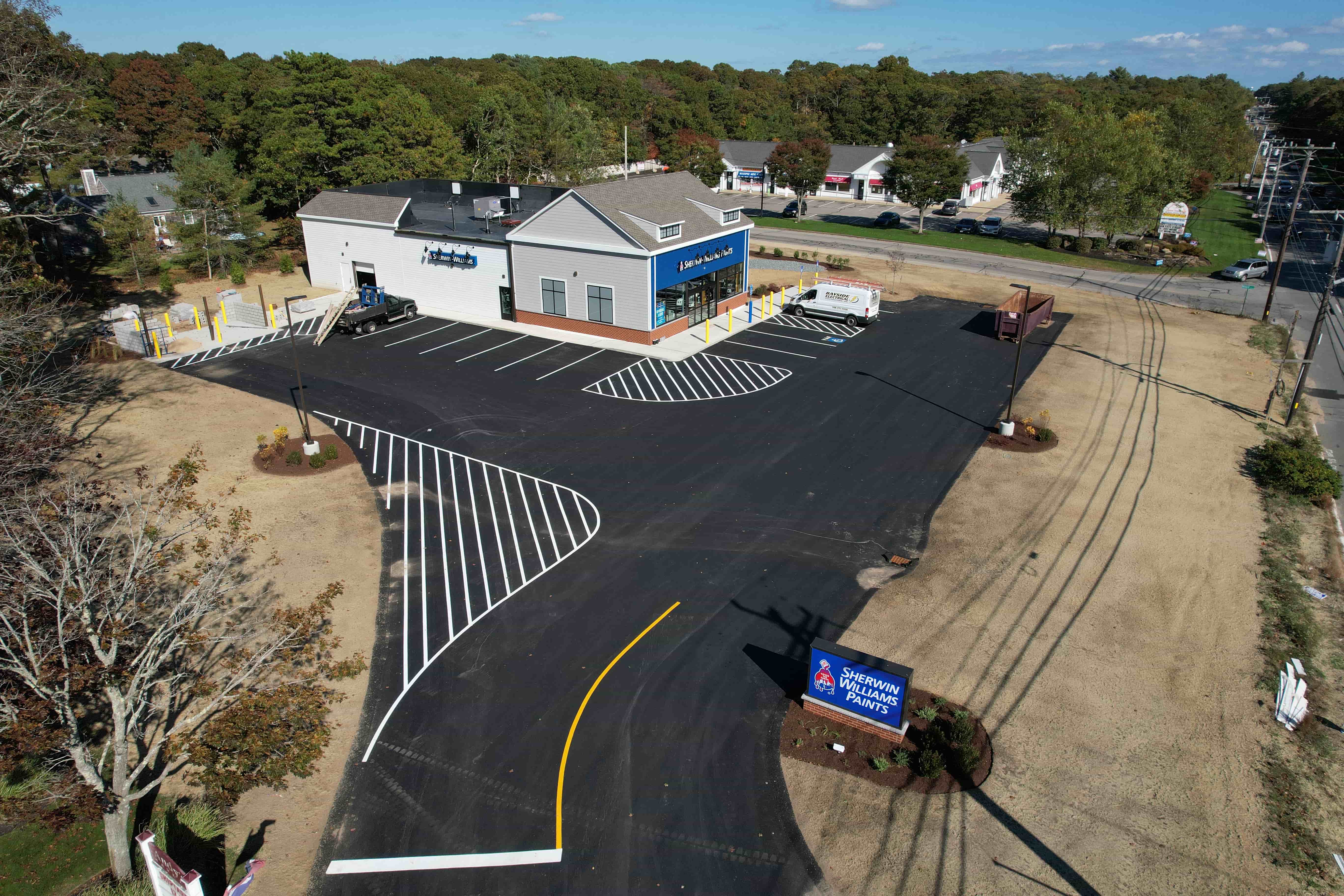
Change detection also helps with quality control. If the project timeline calls for a layer of compacted base material across an access road, the DSM from the next flight should show a consistent elevation gain. If the gain is patchy, the team knows that the compaction is uneven and can request a rework before the paving crew arrives. Catching that issue early avoids the cost of tearing out finished pavement.
Visual Comparison Without Leaving the Office
One of the practical advantages of drone progress tracking is that the whole team can review the same visual data without visiting the site. A superintendent in the field, an engineer in the office, and a client representative in another city can all open the same orthomosaic and see the same information. This shared view reduces misunderstandings and speeds up decisions.
The platform provided by nationaldroneservices.net is designed for exactly this kind of collaboration. It processes the raw drone imagery into organized, comparable outputs and delivers them through client portals. That means every stakeholder can log in, view the latest capture alongside the previous one, and add site annotations where they see a concern. The annotation might be a simple pin saying "this area looks low" or a measurement showing that the setback is 2 feet short. Either way, the issue is documented visually, not buried in an email thread.
For project teams that are already using digital tools like BIM (building information modeling) or scheduling software, drone visuals can be brought into the same workflow. The orthomosaic serves as the real-world check against the model. If the model says the building footprint should be at elevation 102.5, but the DSM shows it at 101.8, the discrepancy is flagged immediately. The team can decide whether the model needs updating or the work needs correction.
What to Watch Out For
Drone progress tracking is powerful, but it is not magic. The quality of the insights depends on the quality of the capture and the consistency of the flight plan. A few things to keep in mind:
- Flight conditions: Wind, cloud cover, and time of day affect the imagery. Flights should happen under similar conditions each time so that shadows and reflections do not create false changes in the detection overlay.
- Ground control points: For measurements to be accurate, the orthomosaic needs to be georeferenced to a known coordinate system. Using visible ground markers or a base station improves precision.
- Data volume: A large site with weekly flights produces a lot of data. The team needs a way to store, organize, and compare captures without losing track of which flight date corresponds to which deliverable.
None of these challenges are deal-breakers, but they are worth planning for. A consistent flight protocol and a reliable data platform turn drone visuals from a novelty into a reliable tool for project control.
Seeing the Whole Picture
The biggest advantage of drone progress tracking may be the simplest: it shows the whole site at once. A person on the ground can only see a few hundred feet in any direction, and even a good site walk misses things. A drone capture taken from 300 feet up shows every corner of the site in a single frame. When that frame is repeated week after week, the story of the project unfolds in a way that no spreadsheet or progress photo can match.
Teams that adopt regular drone captures find that they spot delays earlier, resolve disputes faster, and keep the project timeline more realistic. The visuals do not replace the judgment of an experienced project manager, but they provide the evidence that makes that judgment easier to apply.
Ends · THEMAPPINGFLIGHT